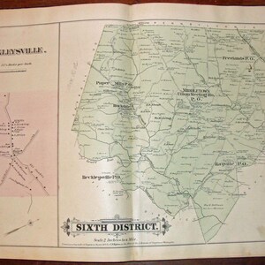


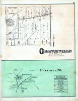
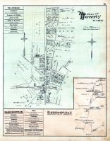
Antique Map: East Part of the Twelfth District, Baltimore County, Maryland hot , 1877, GM Hopkins Atlas of Baltimore County
Wonderful antique map of East part of the Twelfth District, Baltimore County, Maryland.
This two page, antique map is a large, single page and comes from the Atlas of Baltimore County Maryland.
This atlas was authored and published by G.M. Hopkins at 320 Walnut St. Philadelphia in 1877.
This vintage map is printed on two sides with hot maps of Grangeville / Ross P.O. on the left verso (or reverse side) and maps of the Thirteenth District / Relay Station st Denis PO on the right verso .
If either of the verso maps sell first then the map of the East part of the Twelfth District will become unavailable.
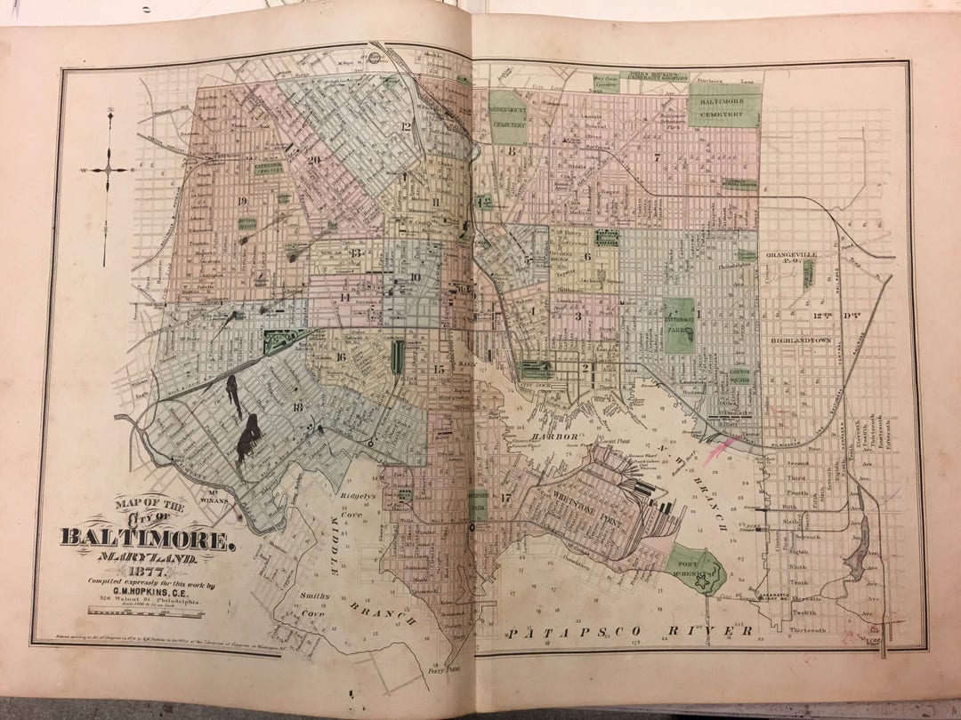
A truly unique and one of a kind piece of Baltimore County Maryland history with landowners & other details marked on it and in sidebars. Also know as cadastral maps ( http://en.wikipedia.org/wiki/Cadastre ), these rare maps show Baltimore in 1877 like no other listing property owners, businesses and public works buildings.
Hand colored with a mint green tint over the entire District.
This historical old map of the East part of the Twelfth District of Baltimore County Maryland is a fine item for display, gift or collection. They frame very well and are a fine addition to any home, business or collection.
Map measures 26 1/2" x 17 1/2"
Each map is shipped flat or rolled in a protective package.